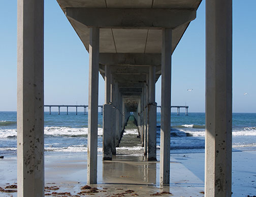
San Diego State researchers will help lead a project to search the sea floor off the coast of Southern California in search of ancient landforms.
The project could potentially lead to the discovery of when the first modern humans arrived in North America, and whether they traveled an inland route or came along the coast.
“Ultimately what we could get at is evidence of the first migration to the new world by humans, but the minimum what we want to understand are those landforms and how people were adapting to those coastlines prior to 7,000 years ago when those sea levels stabilized,” anthropology professor Todd Braje said.
However, Braje said it is unlikely the research project will answer the question of when the first modern humans arrived.
“Many times people get excited about this idea of the first (humans to come to North America), and that is really interesting and a really important question, but there are really fundamental questions about what did these coastlines look when sea levels were 100 meters to 20 meters below what they are today,” Braje said.
Braje and geological sciences professor Jillian Maloney have partnered with the Bureau of Ocean Energy Management to identify submerged landforms near the Channel Islands.
“What we’re interested in doing (is) sort of mapping the now-submerged coastlines along the Pacific coast and trying to better understand those coastlines,” Braje said. “The project is designed to protect and find and understand archaeological sites that were occupied thousands of years ago when sea levels were lower.”
The $900,000 project, funded by the BOEM, will take place over the next four years.
Braje is the principal investigator of the project, although universities such as University of Oregon, Oregon State, and CSU San Bernadino are collaborating on the project, as well.
As the project geologist, Maloney will be leading the research team and mapping the seafloor and different geologic deposits using various sonar techniques, Braje said.
“So if there was a river (that cut across land) when the sea level was much lower, then it got buried by sediment, we could see that river channel that was buried using that data,” Maloney said.
After gaining a better picture of the seafloor, the team will then core small samples of the ocean floor to analyze sediments, Braje said.
By identifying potentially submerged landforms, the project will aid the BOEM to map areas suitable for offshore renewable energy projects, and to determine which areas require protecting.
“What this project does even though we can’t see those biological and cultural resources (because) they may be submerged maybe under water, they still deserve protection because they’re an important part of our ecosystem and our human history,” Braje said.
The research project is the biggest effort put together in Southern California to understand submerged landscapes, Braje said.
“The thing that’s special about this, it’s kind of the biggest effort to try to unravel these questions, using all of these methods,” Maloney said. “It’s a really interdisciplinary effort, which I think is really cool about it.”

![Courtesy Photo: Greg Thames [pulled from Pexels website as free use image]](https://thedailyaztec.com/wp-content/uploads/2026/05/Screenshot-2026-05-15-at-11.36.27-AM-1200x820.png)